Risk Summary
HeatMap by Entity/Risk Type/Process
When the likelihood and the impact of a risk have been specified, you can obtain a summary view of risks to highlight the risks to be treated as a matter of priority.
Risk geographical map
It is also possible to describe the geographical distribution of control system risks.
To do this:
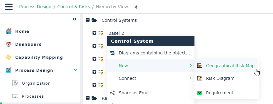
The geographical map of risks is displayed.
It allows you to connect risks to the sites where they may occur.